The 2 Main Islands
The country is separated into the North Island and the South Island by the 22 km wide Cook Strait. It lies in the Southwest Pacific Ocean, over 1,600 km southeast of Australia
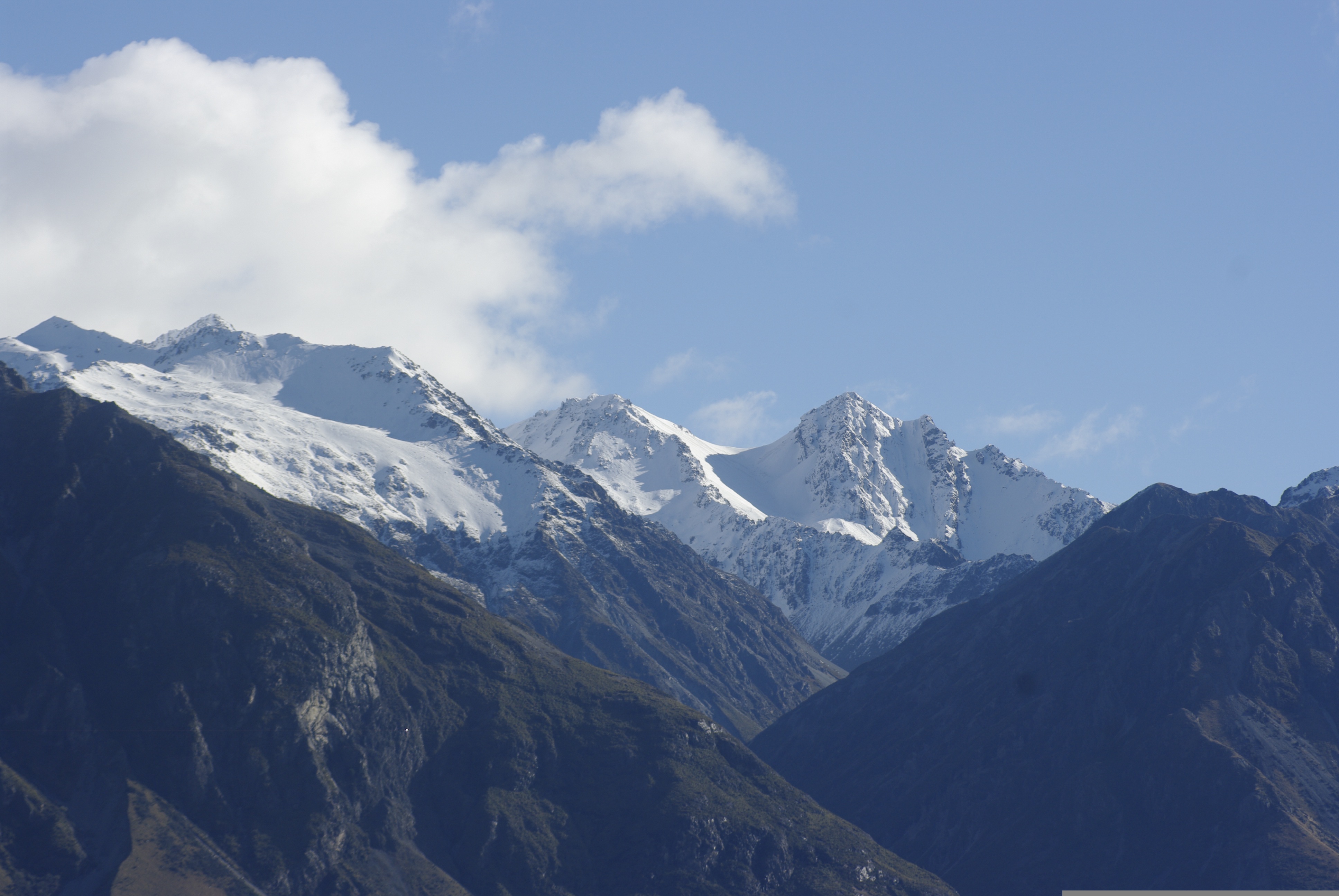
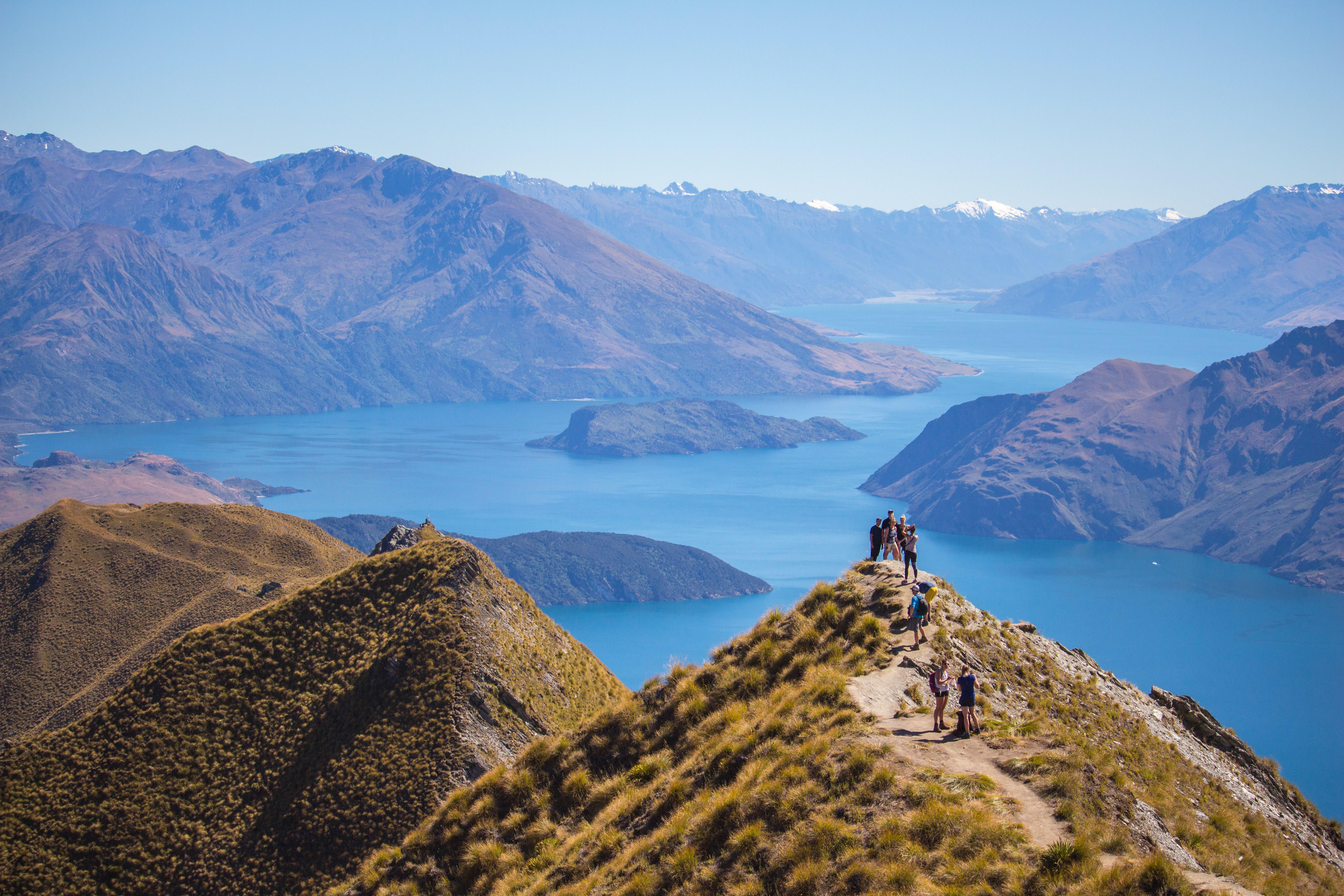
The Southern Alps
A massive, 300-mile long mountain range running almost the entire length of the South Island, containing Aoraki/Mount Cook, the country's highest peak at 3,724 meters.
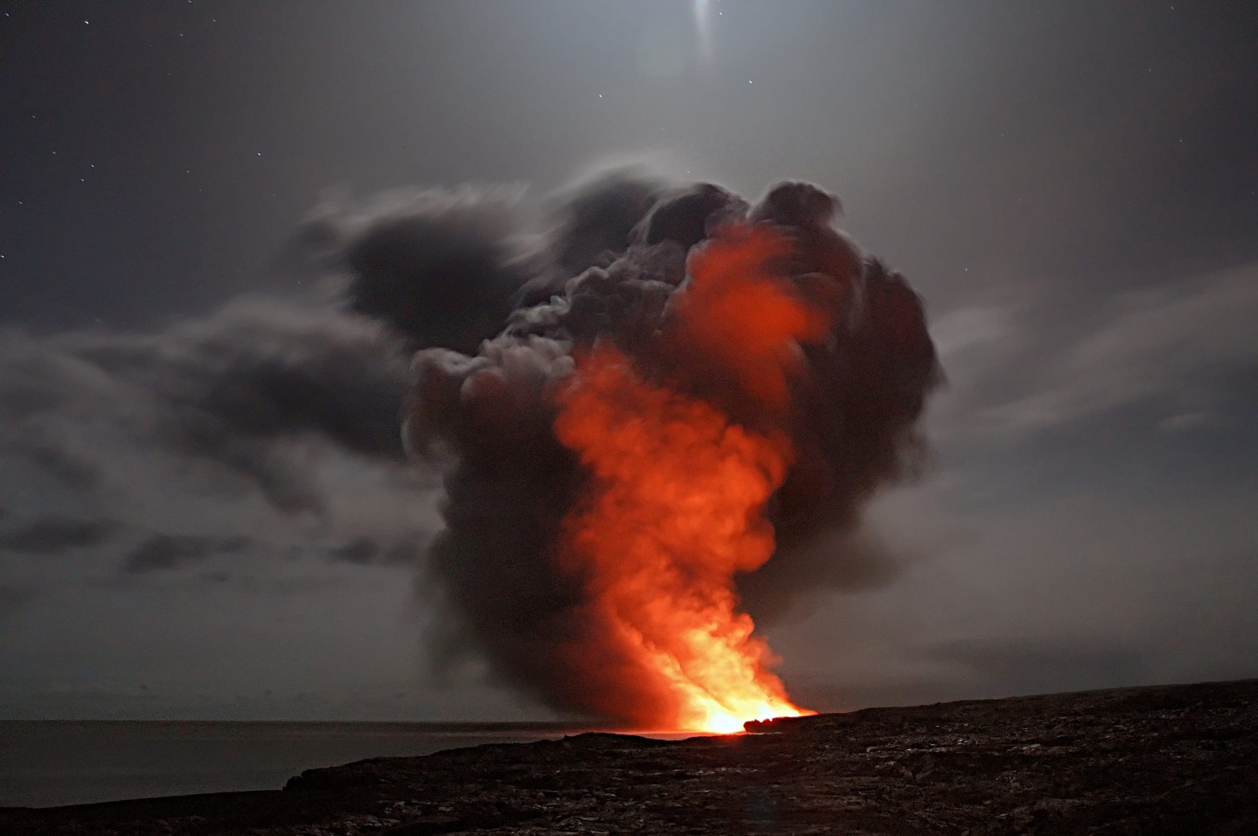
Volcanic Activities
The central North Island is a volcanic plateau marked by active stratovolcanoes like Mount Ruapehu, Mount Taranaki, and Lake Taupō, which occupies the caldera of a massive supervolcano.
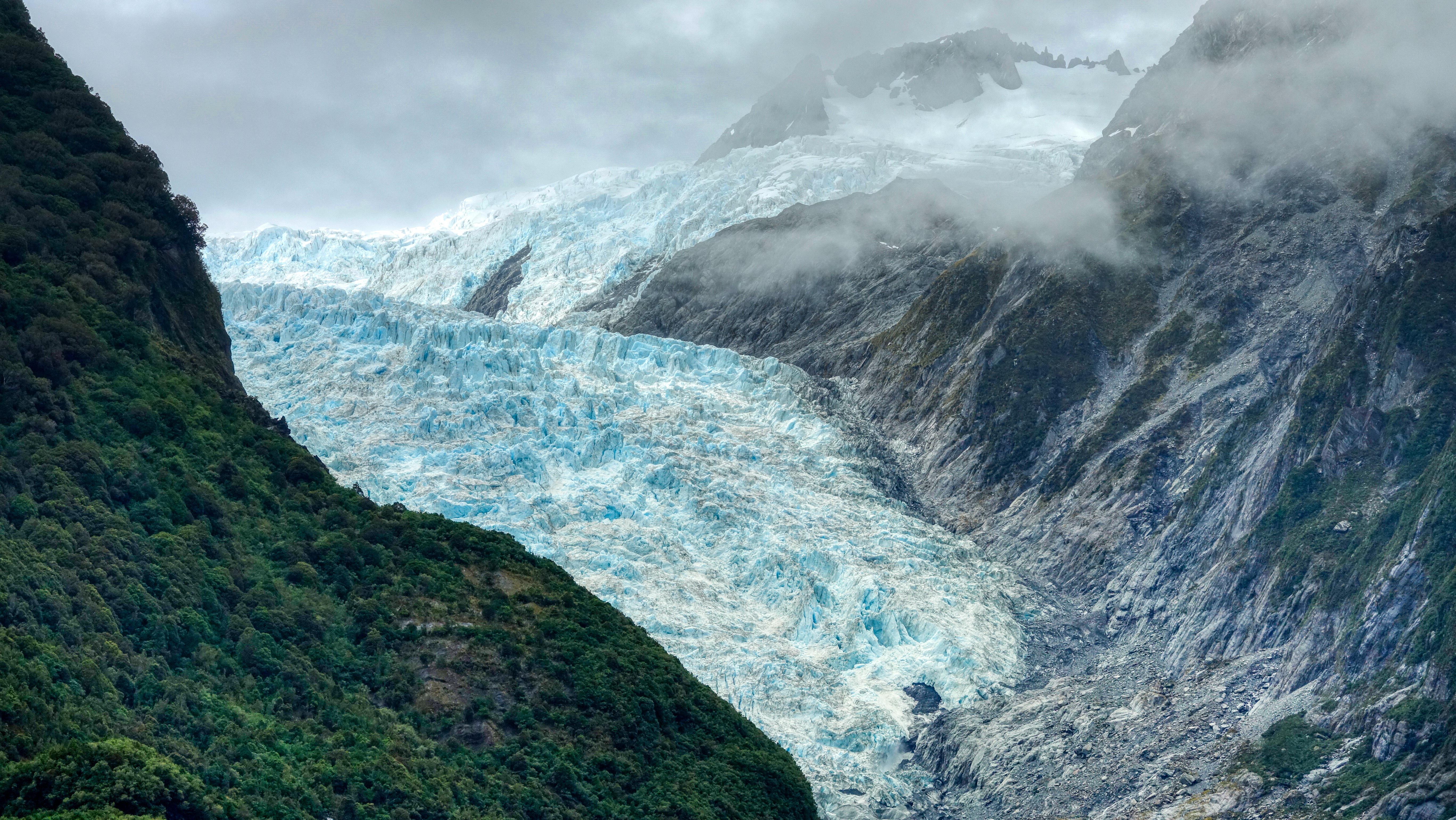
Glaciers and Fjords
The southwest coast is defined by steep fjords (like Milford Sound) formed by glaciers, while numerous glaciers, such as Franz Josef and Fox Glacier, descend from the Southern Alps.
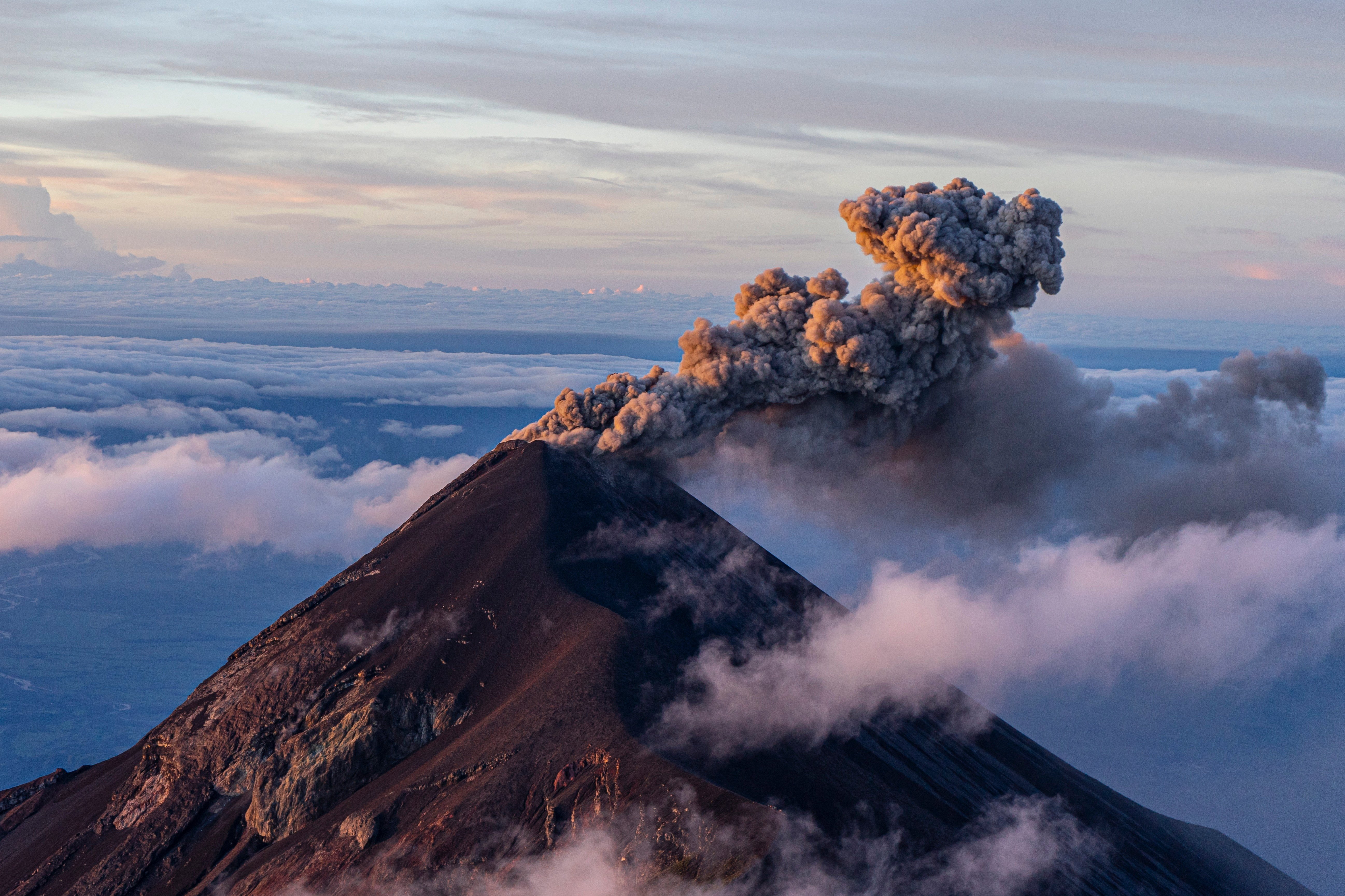
Ring of Fire
Situated on the boundary of the Australian and Pacific plates, New Zealand experiences frequent earthquakes and significant geothermal activity
Diverse Climates
The geography creates dramatic climate contrasts, such as the tropical-like north, the temperate climate, and the wettest area on the South Island's west coast compared to the dry Canterbury Plains, all in close proximity.